Informatives für den Heimat- und Familienforscher - © 2021

|
zurück |
 |
|
Blick vom Turm der St. Johannis-Kirche dangeaufwärts über das Industriegebiet. | |
| 002085 | |
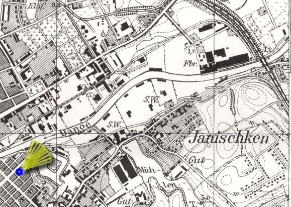
| Topographische Karte 1:25000, 0292 Memel, Preußische Landesaufnahme 1912, Berichtigungsstand: 1940. © Bundesamt für Kartographie und Geodäsie 2004 |
|
|
zurück |