Informative for local history researchers and genealogists - © 2021

|
back |
 |
|
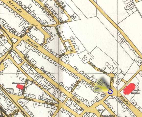
| The Breite Straße led from "Töpferstraße" through "Schlewiestraße" northwards to the fishing port and the "Nordermole" (north jetty). | |
| Corresponding image no.: | 000045 |
| Source of this map: | Übersichts-Plan der Stadt Memel Stand 1923, 1985 Nachdruck von Druckerei Probst, Höchst im Odenwald - Günter Maeding (früher Memel). |
|
|
back |