Informative for local history researchers and genealogists - © 2021

|
back |
 |
|
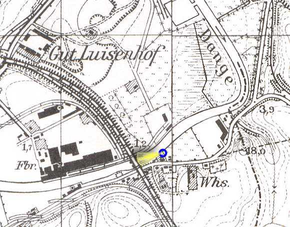
The Dange river was navigable to here. Only with small boats it was possible to reach beautiful places in the higher part of the river. | |
| Corresponding image no.: | 000055 |
| Source of this map: | Topographische Karte 1:25000, 0292 Memel und 0293 Plicken, Preußische Landesaufnahme 1912, Berichtigungsstand: 1940 © Bundesamt für Kartographie und Geodäsie 2004 |
|
|
back |