Informative for local history researchers and genealogists - © 2021

|
back |
 |
|
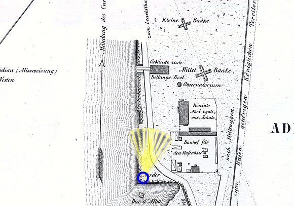
The stately building of the navigation school. | |
| Corresponding image no.: | 002068 |
| Source of this map: | "Grundriss von der See- und Handelsstadt Memel", entworfen und gezeichnet im Jahre 1856 und 1857 von Carl Friedrich Louis Klein. |

|
back |