Informative for local history researchers and genealogists - © 2021

|
back |
 |
|
Vista from the St John's steeple towards the industrial area. | |
| Corresponding image no.: | 002085 |
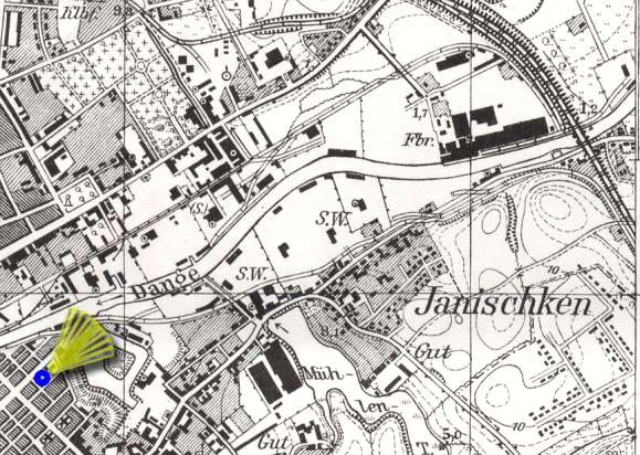
| Source of this map: | Topographische Karte 1:25000, 0292 Memel, Preußische Landesaufnahme 1912, Berichtigungsstand: 1940. © Bundesamt für Kartographie und Geodäsie 2004 |
|
|
back |