Informative for local history researchers and genealogists - © 2021

|
back |
 |
|
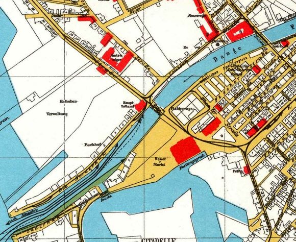
The Town Hall district (upper right), and (in the left of the map) the courthouse in the 'Holzstrasse', the main customs office at the 'Norderhuk', the 'Packhof', and the area of port construction administration. | |
| Corresponding image no.: | 002103 |
| Source of this map: | Übersichts-Plan der Stadt Memel Stand 1923, 1985 Nachdruck von Druckerei Probst, Höchst im Odenwald - Günter Maeding (früher Memel). |

|
back |