Informative for local history researchers and genealogists - © 2021

|
back |
 |
|
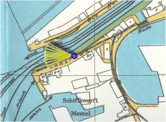
The Norderhuk, the right bank of the Dange river close to the estuary. | |
| Corresponding image no.: | 005802 |
| Source of this map: | Übersichts-Plan der Stadt Memel Stand 1923, 1985 Nachdruck von Druckerei Probst, Höchst im Odenwald - Günter Maeding (früher Memel). |
|
|
back |