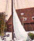
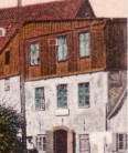
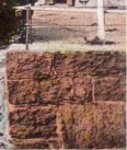
The look at the "Old Inn" (on the right in the picture) from the opposite direction.
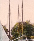
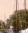
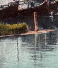
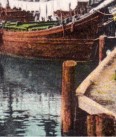
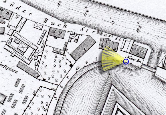
The view to the ships anchoring in the moat close to the "Kettenbrücke". Then to the old buildings "Süderhuk 2, 3 and 4", and the big warehouse behind them.
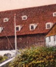
Memel's address registers talk about ferrymen and publicans who operated their business in the houses no.3 and no.4 still in the 2nd half of the 19th century.
Maybe the old houses have had to disappear because of the then installed industry railway tracks to the Süderhuk.
|